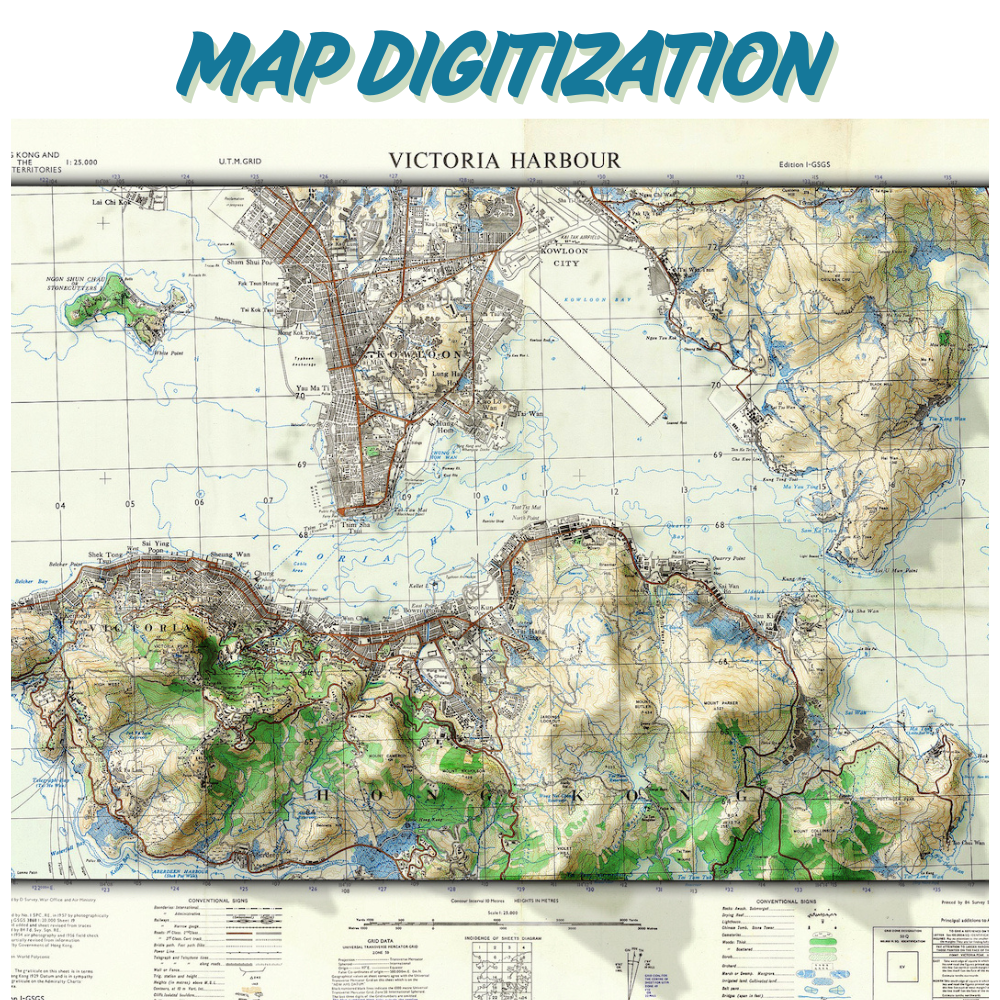
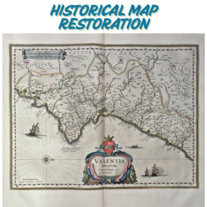
Description
“Convert paper maps, scanned images, or PDFs into precise GIS-ready formats (Shapefile, GeoJSON, KML). Georeferenced with 0.5mm accuracy for land-use planning, environmental projects, or archival. Trusted by urban planners and researchers for seamless data integration.”
Required Files :
- Upload scanned maps, images, or PDFs (accepted formats: PDF, JPEG, PNG).
- Minimum resolution : 300 DPI for scanned maps.
Specify Details :
- Coordinate system : e.g., WGS84, UTM Zone 48N.
- Output format : Choose from Shapefile, GeoJSON, etc.
- Key features to digitize : e.g., roads, property boundaries, contour lines.
- Scale : Provide map scale (e.g., 1:50,000) if available.
Optional Add-ons : Add a note if you need attribute tables or specific symbology.
PS :
- File Size Limits : Compress large files into ZIP/RAR folders before upload.
- Confidential Data : Add a note if files contain sensitive information for secure handling.
Reviews
There are no reviews yet.