Description
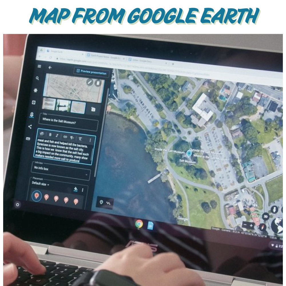
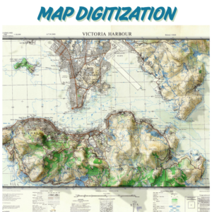
“Extract high-resolution satellite/aerial imagery from Google Earth Pro. Add custom overlays (markers, polygons) and export as KMZ, GeoTIFF, or Shapefile. Ideal for site surveys, environmental monitoring, or base maps.”
Required Files :
- Upload KML/KMZ files or specify coordinates (latitude/longitude) for your area of interest.
Specify Details :
- Area of interest : e.g., “Downtown Miami” or “Coordinates: 40.7128° N, 74.0060° W.”
- Layers : Check required features:
- Roads/highways
- Vegetation/land cover
- 3D terrain/elevation
- Buildings/structures
- Resolution : Choose scale (e.g., 1:5,000 for high detail).
- Licensing : Specify commercial or personal use (for attribution compliance).
Optional Add-ons : Add a note if you need time-series imagery (e.g., “2010–2023”).
PS :
- File Size Limits : Compress large files into ZIP/RAR folders before upload.
- Confidential Data : Add a note if files contain sensitive information for secure handling.
Reviews
There are no reviews yet.