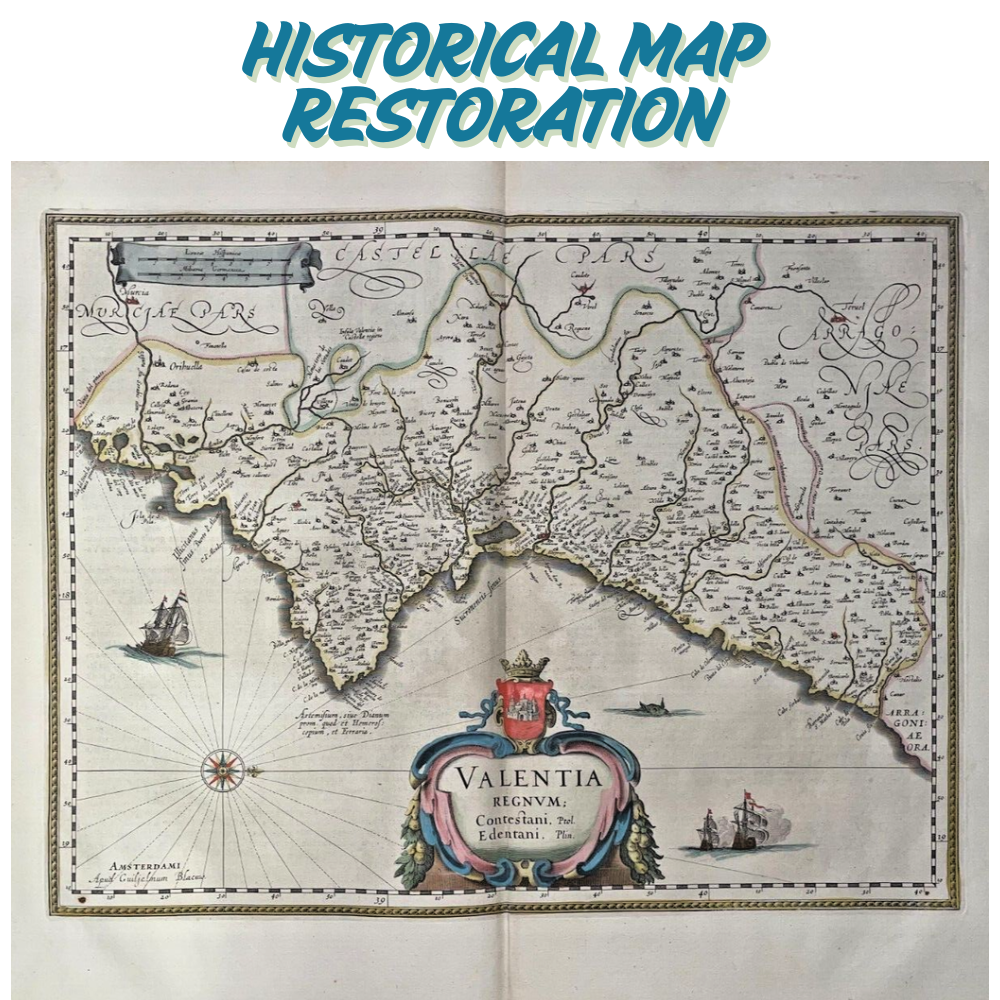
Description
“Repair torn, faded, or damaged historical maps and align them to modern coordinates. Output as high-resolution GeoTIFF, PDF, or web maps. Perfect for historians, archivists, and heritage projects.”
Required Files :
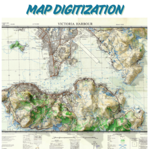
- Upload scanned historical maps (formats: JPEG, TIFF, PDF, PNG).
- Minimum resolution : 600 DPI for fine details (e.g., text, symbols).
Specify Details :
- Current condition : Describe issues (e.g., “faded text,” “tears in the northeast corner”).
- Geo-referencing : Provide control points (latitude/longitude) or a modern reference map.
- Coordinate system : e.g., WGS84, local grid system.
- Output use : Archival preservation, academic publication, or GIS integration.
Optional Add-ons : Add a note if you need metadata documentation or color correction.
PS :
- File Size Limits : Compress large files into ZIP/RAR folders before upload.
- Confidential Data : Add a note if files contain sensitive information for secure handling.
Reviews
There are no reviews yet.