
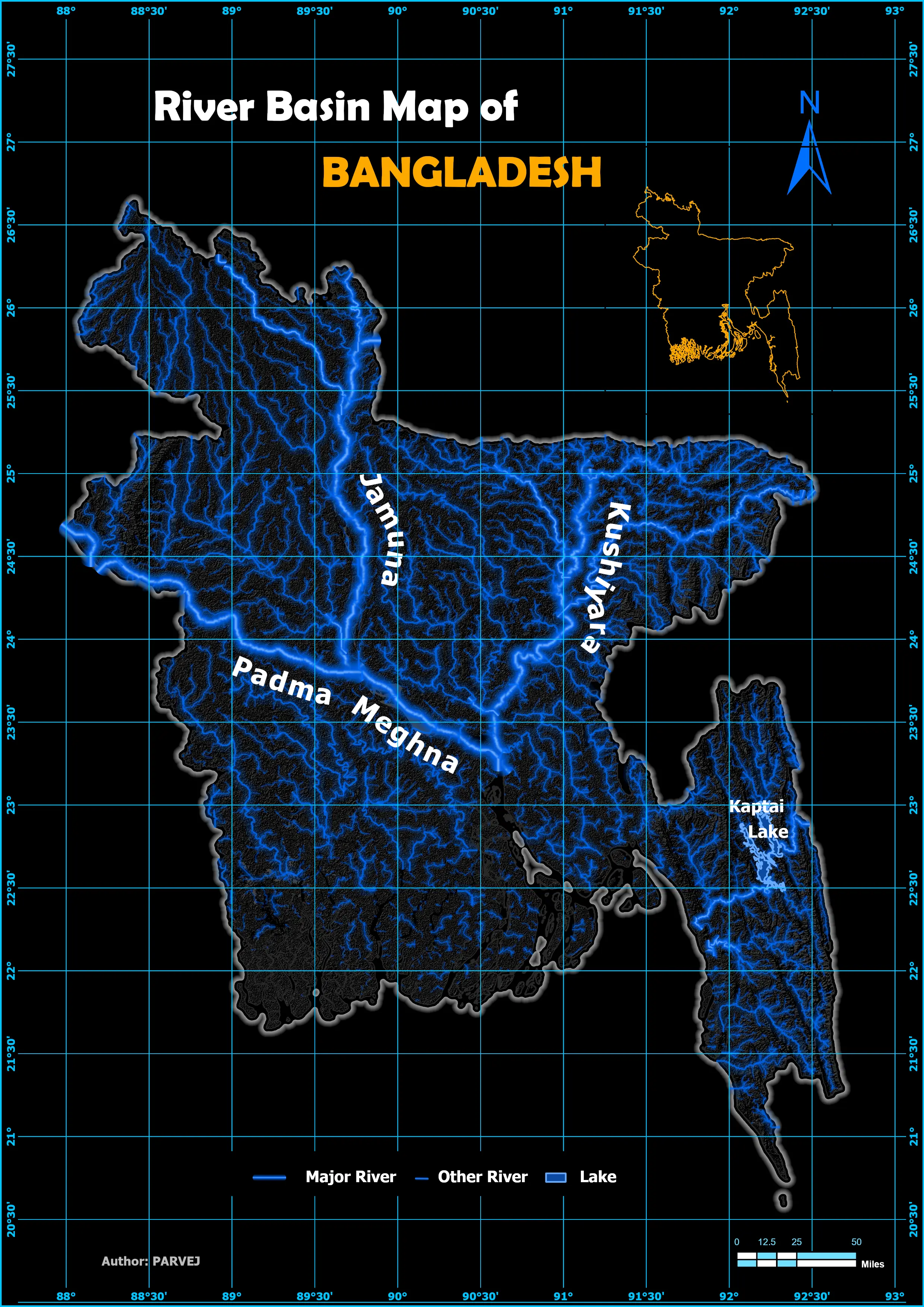
Bangladesh’s Hydrological Basin Map
Through a wide variety of mobile applications, we’ve developed a unique visual system.
- Software ArcGIS Pro
- Date 13/02/2025
- Category GIS
I recently created a unique hydrological basin map of Bangladesh using ArcGIS Pro—a project that combines data precision with creative visualization. Starting with raw hydrological data (watersheds, rivers, lakes, and DEM), I processed and symbolized each layer to highlight the intricate water systems of the region. What makes this project stand out is its focus on clarity and usability, blending aesthetic design with technical accuracy. This map not only showcases Bangladesh’s hydrological features but also serves as a valuable resource for environmental planning and research. Dive into the details of how I brought this vision to life!
How I built it (in a nutshell):
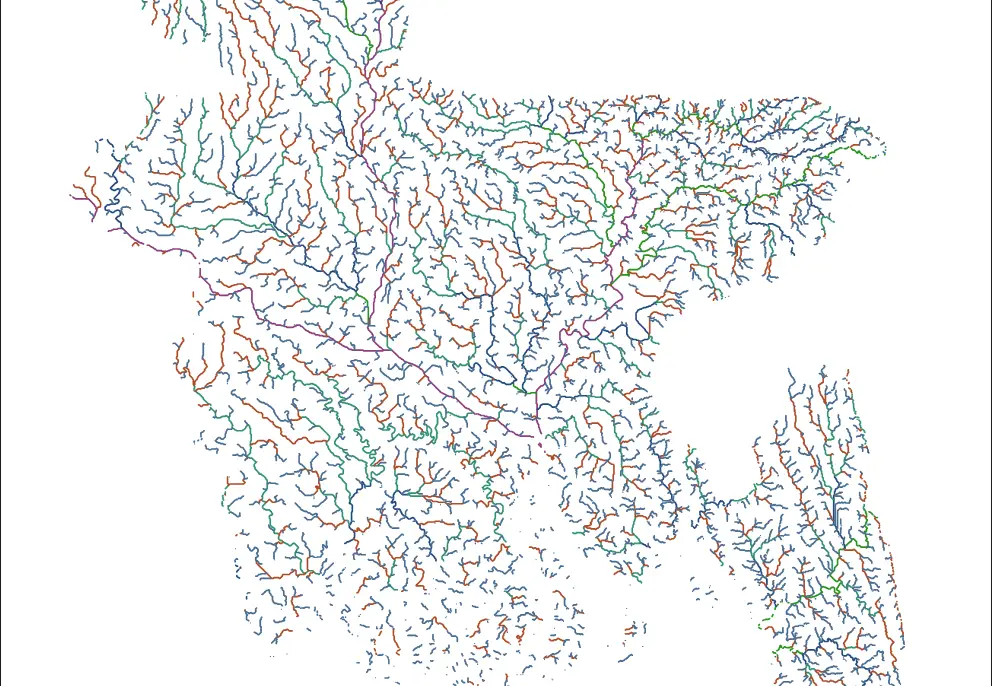
1️⃣ Data Collection: Sourced global hydrology datasets (HydroSHEDS, HydroRIVERS) and a 30m-resolution Digital Elevation Model (DEM) from OpenTopography.
2️⃣ GIS Processing: Merged basin polygons, clipped DEM/river layers to Bangladesh’s extent, and classified river orders (1-6) for dynamic symbology.
3️⃣ Visualization: Applied custom glow effects for rivers, labeled key cities/lakes, and designed a sleek layout with hillshading for topographic depth.
4️⃣ Validation: Cross-referenced with satellite imagery and local hydrology reports for accuracy.
“Where Hydrology Meets Art: A Technically Robust, Visually Stunning Basin Map”
Key Insights and Outcomes for Portfolio
- Data Integration: Successfully combined multiple datasets, including watersheds, rivers, lakes, and DEM, to create a comprehensive hydrological map.
- Technical Expertise: Utilized advanced tools in ArcGIS Pro, such as clipping, hillshade generation, and layer symbology, to enhance map accuracy and aesthetics.
- Unique Contribution: Highlighted Bangladesh’s hydrological basins in a way that balances technical detail with visual appeal, making it accessible for both experts and non-experts.
- Practical Applications: The map can be used for environmental studies, flood risk assessments, and sustainable water resource management.
- Creative Symbolization: Employed innovative labeling and styling techniques to ensure clarity and readability, setting this project apart from standard hydrological maps.